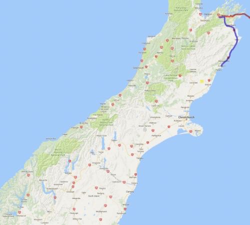
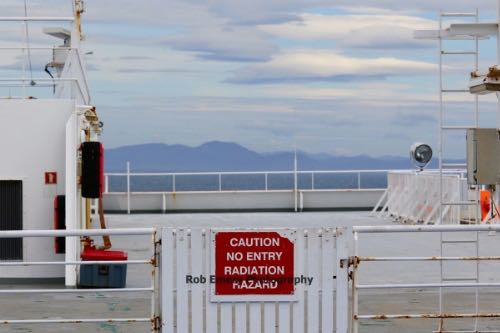
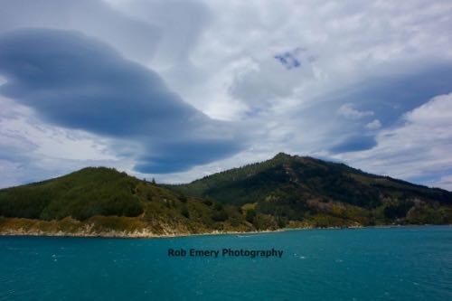
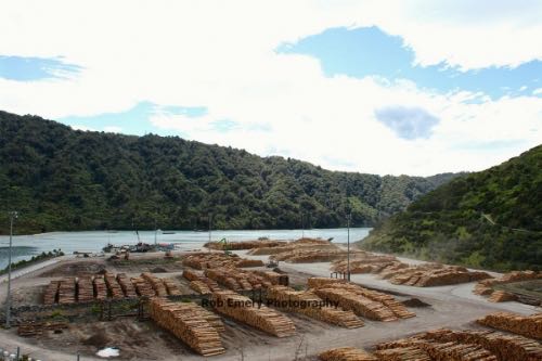
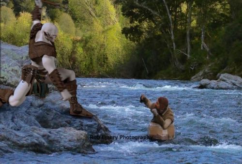
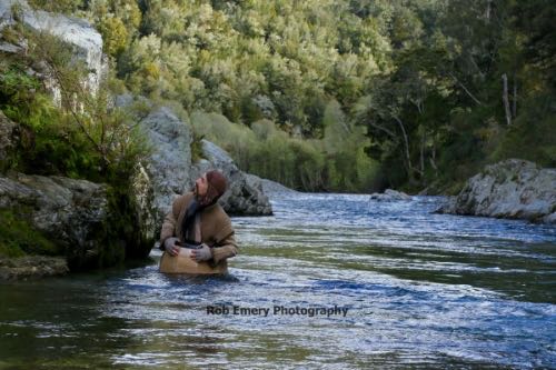
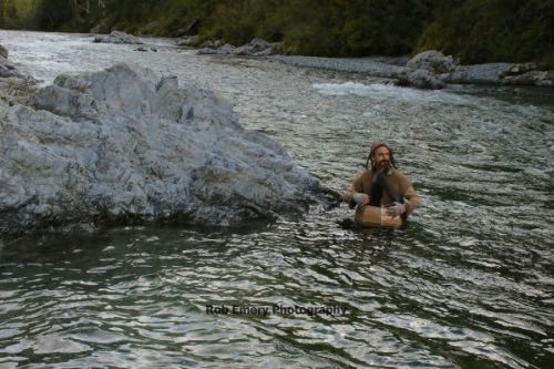
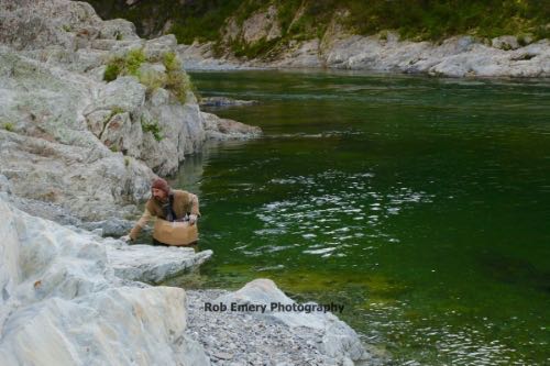
Oct 11 - I left the North Island on the ferry in the early morning. Plan for delays - I lost a few hours to a truck that got stuck going the wrong way in the ferry, and then ship traffic at the next port. I made it to Pelorous River, near Nelson, with time to try some barrel riding before heading back east to Kaikoura. Unfortunately, it was one of the sites not marked on Google Maps, and with little time to explore I had to choose just one location to try. That was the Pelorous Bridge Scenic Reserve. It has easy access and parking with nice locations in both directions (up/down river) but I suspect the main shoot locations were much further down river near Canvastown. They have kayak trips that go, which might be the best way if you have more time as they have private entry locations and can stop at shoot locations that might be inaccessible otherwise. Also, if you have lots of time and want to explore, you might also check into areas upriver on the Maungatapu and Mount Richmond roads.
Oct 12 - The Kaikoura Whale Watch tour was cancelled due to bad weather. So, I headed off to Hokitika and passed close to the location of the epicenter of the magnitude 7.6 earthquake that happened only a month later (yellow X near Culverden). On the way to Arthur's Pass, I stopped for a hike around Castle Hill which has an amazing array of huge boulders. Make sure to fill up on gas and leave plenty of time before you travel this leg (and along the way) - the roads are all slower, further and more gas-consuming than they look due to all the winding roads and mountains. Also, the gas stations on the west coast like to close early. At Hokitika, I stayed near the glow worm dell, and got to shoot in private after midnight when all the other folks had gone to bed. This let me do some long exposures on a tripod (with no ruined shots from stray flashlights), but I still had to contend with the moonlight (and potential rain) as it's not a cave.
Oct 13 - The drive to Franz Josef Glacier (the town) was followed by a hike to the glacier itself (or at least as close as you're allowed to go on foot). You can get some decent pics from there with a long lens and it's a short hike in. The hotel I was at had poor wifi but a nice hot tub with a roof so you can get out of the rain and enjoy the mountain view.
Oct 14 - Before heading on to Wanaka, I did a morning hike (in the rain) to Tatare Tunnel, which was too flooded to go through without tall boots. I also had a tour of the Franz Josef Glacier. The booked tour was cancelled due to weather but a later one still went and I managed to get on it. There is a strict no-camera bag policy, which is quite silly as they let me build and take the equivalent (but more likely to fall / get lost) out of a sock, a hat and my camera strap. Luckily, with the help of the crampons, I didn't fall while there, and the rain didn't return so the camera was ok. The tour includes a heli flight and the guides carve steps into the ice to make the climb easier/safer, and we also got to slide carefully through a few ice caves. There's also a nice hot pool you can go to afterward to warm up. Bring a towel/suit & spare change for the lockers/towel rental.
Oct 15 - Before heading to Te Anau, I backtracked and did the Mt. Isthmus hike (missed it yesterday due to the glacier hike delay). It's a long and steep hike (so plan for a full day) but with the first rain-free day, and Lake Hawea having a beautiful mirror finish, it was worth it. The Fantail birds, lambs and cows on the lower part of the trail are fun to see. Higher up you get great views of the nearby lakes. After that, on the way to Te Anau, I stopped by the Chard Farm road to look for the location of the Pillar of the Kings, the Argonath (cosplayers from DragonCon 2016). It's a cliff road where you can get a nice view of the area without actually going on the farm. I also went to Arrowtown to look for the Gladden Fields path (it was next to the parking by the river) and the Ford Of Bruinen (this area is more recognizable but again, tough to confirm the exact spot as Skipper's Canyon was also used in the shot as background - if you go, bring scene pics to compare to and prepare to cross some streams over fallen trees unless you want to walk all the way around).
Oct 16 - I did a day trip to Milford Sound and did the Jucy cruise. Photography was limited by the rainy weather, but the ship and guides were nice and all the rain made the waterfalls fuller. There were cute seals, including one doing a good job of rock-climbing to get out of the water.
On the way back, the Kea birds got a little friskier... and started taking apart the cars that were stopped at the tunnel red light. You may have to fight them off too so they don't damage your rental. I stopped at the end of the Routeburn track (The Divide) to do a there-and-back climb to the local peak, the Key Summit Lookout. The weather got worse, and the freezing driving rain turned me back shortly after making it to the top. A better stop on the way back was the Mirror Lakes. Here the rain and wind let up a little and I got to watch ducks diving for food and chasing each other around.
Oct 17 - Today was a day for hunting for Lord Of The Ring (LOTR) sites before returning to Te Anau. First up was the River Anduin as seen from the Kepler track. You can view the stretch of river they did a helicopter fly-by scene over by taking a small detour off the Kepler Track to the first river bend or even better from several places along the road you drive in on - some have room enough to park too. The next spot was Fangorn forest, at the sides of Takaro Road. This area was too large and indisdinct to identify any scenes/locations from the movie but it certainly has the right look. Probably not worth the long gravel road drive unless you're very keen. Mavora Lakes were next on the list and had a nice view even if you're not a LOTR fan. I'm not sure about the other sites, but the shore location (Nen Hithoel) where Sam tried to wade/swim after Frodo's boat is one you can easily reach with a short hike or 4WD vehicle. On the way back a lamb was loose on the road. I tried to help it get home but it was too shy, and the farmer didn't sound concerned about it.
Oct 18 - On the road to Glenorchy, I did more film site hunting. The first at Deer Park Heights was a lost cause. The road is closed. You can get a distant view of some of the area that might have been used from Jardine Park, but skip it unless you're very keen. A better area was the Ithilien site where Sam/Gollum talk about taters and they and Frodo see the Oliphants. The Google maps locations are wrong, so you'll have to wander in the area to find the right sites. Take the path across the bridge from the parking area, and head south. You'll find a big clearing as you go - explore there to find both sites. The Oliphants one is clear when you find the cliffs (though access is just from below as the bush up top has nasty spikes and you'd need a tough enough jacket or machete to punch through). For the tater site, bring some reference pics with mountains to help - I was facing the wrong way and not near enough the plants in mine (I think it would be facing north) so not sure on the exact spot but the area does look similar. There was an inukshuk at one spot on the north end, that may be it.
Oct 19 - After a few weeks of rains, I wasn't going to let what seemed like a nice day go by without a hike, even with obstacles in the way. The first was a cow blocking a bridge. Next, the Routeburn trail itself was roped off at the first bridge with yellow tape... also at the second bridge. Next, there were trees that fell on the path you had to duck under. Then there were trees you had to go around. And then, trees you had to climb over with cliffs on both sides. Basically, I was laughing and swearing at Saruman most of the way (I suspected he had placed the obstacles). The hike up is great otherwise, and had the weather not turned rainy again, I would have enjoyed going further. At least the park rangers were busy clearing the path of trees when I returned (one of them gave me the stink eye for going past the bridge barriers, as parts of the bridge had been knocked out). I stopped by AJ Hackett Bungy on the way to Twizel, to see if there was a better view of the Kawarau River (Anduin/Argonath) from the road, but did not find one (there was more of the prickly vegetation in this area limiting exploring).
Oct 20 - Today, Saruman's ominous cloud was still following me around (he's just sore about the Mt. Doom attempts). Today I took another LOTR tour. This one had Gondor locations, particularly Pelennor Fields plus lots of props to play with and tips on the movie filming. Minas Tirith scenes were actually composites of several places, including here for the foreground. I recommend the tour but if you don't have the time/money, you can still go see the Entwash river: it's the first stream on the west side of Glen Lyon Road just south of the bridge over the Pukaki Canal. The entrance to where the tour goes is locked, but you can park there for a distant look over Gondor as well - it's just past the stream a little further south on the west side again. I had a look at Lake Pukaki and Lake Tekapo on the way to Christchurch but the rain made them a little less spectacular than they could be.
Oct 21 - My Edoras / Mt. Potts Station/Mt. Sunday tour was cancelled on account of lack people but the weather forecast for the afternoon was good, so I decided to backtrack for another chance to see Mt. Cook and Lakes Pukaki/Tekapo. It was a long day of driving, but it paid off as the hike to Mt. Cook and the lakes were both beautiful. There was also another nice sunset on the way.
Oct 22 - It was time to head home, but before I did, I checked out the Christchurch Botanic Gardens.
 All images copyright Rob Emery, 2016